Afghanistan in 1973
31 October - 15 November 1973
Afghanistan, situated between the Indian subcontinent, Central Asia, and the Middle East, is a landlocked and mountainous country of 647,500 km², with plains to the north and southwest and Mount Nowshak, at 7,485 metres above sea level as its highest point. The country has a continental climate with very harsh winters in the central highlands, the northeast and the Wakhan Corridor. The average January temperature is below -15°C with hot summers in the low-lying areas of Sistan Basin in the southwest, the Jalalabad basin in the east, and the Turkistan plains along the Amu River of the north, where temperatures average over 35°C in July. It is at the crossroads of Asia, central to wars, migrations, and trade, that has always dominated this part of the world. Foreign powers have never been able to dominate it: the British discovered this in the 19th century, the Soviets from 1979 to 1989, when they lost close to 50,000 soldiers, and the Americans and their allies from 2001 to 2021, when they had to accept a humiliating defeat following the reconquest of the Taliban. The Afghan people have suffered terribly, losing an estimated one million people, and now the country is back to a fundamentalist Islamic emirate where women have no rights and are totally excluded from higher education and employment.
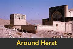
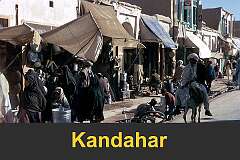
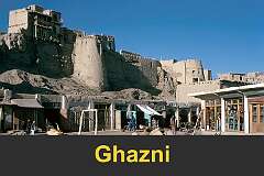
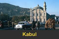
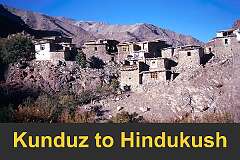
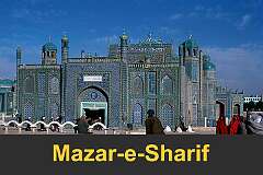
These photos show Afghanistan in happier times, in late 1973, when it was part of the “hippy trail,” when travellers could safely traverse the country by public bus, stay in low-budget hotels, and eat in simple local eating places. This is the “real” Afghanistan and its people as they were just after it changed from a monarchy to a republic; that time may now be fondly called a “golden age” by many Afghans.
These photos show Afghanistan in happier times, in late 1973, when it was part of the “hippy trail,” when travellers could safely traverse the country by public bus, stay in low-budget hotels, and eat in simple local eating places. This is the “real” Afghanistan and its people as they were just after it changed from a monarchy to a republic; that time may now be fondly called a “golden age” by many Afghans.


